Around a century ago Suzi’s grandfather bought some farmland along the St. Croix River off the main channel on Paige’s Slew. The St Croix is the boundary river between Minnesota and Wisconsin. It originally was an outlet for Glacial Lake Superior.
The Outlet for the other great Glacial Lake, Lake Agassiz cut the Minnesota River Valley, and they joined at what is now Hastings, Minnesota. Lake Agassiz was huge, covering much of Northwestern Minnesota, Eastern North Dakota Manitoba and Saskatchewan. Agassiz had several “breakouts” that helped form both the Mississippi and McKenzie river valleys. Its retreat also shaped the rivers flowing into Hudson’s Bay.
Both lakes were formed by the retreat of the Laurentian Ice Sheet. Both of those rivers no longer drain from large glacial lakes and now the longest stretch extending north from the Twin Cities flows from Lake Itasca in Northern Minnesota. Itasca was also formed by the retreating Laurentian Ice Sheet. It flows southward, over St. Anthony Falls in Minneapolis and joins in St. Paul. It is the longest arm north from the Twin Cities so it is the “True Head” as explorer Henry Schoolcraft styled it. (Itasca is from the Latin “veritas caput” or “True Head, thus Itasca.) Schoolcraft liked to make up words that sounded Native American but weren’t.
Because of it was the outflow of a huge glacial lake (It no longer is an outflow from Superior) the St. Criox valley is cut deeper with higher bluffs than you would expect. You can see the height of them upriver at Taylor’s Falls or downriver at the St. Croix Boom site just north of Stillwater. Near Paige’s Slew you can judge the height of the bluffs, far back from the river, by looking at the Soo Line high bridge just below where Suzi’s family’s place is. Boats cannot travel north of the bridge, by law, to protect the upper St. Croix from invasive mussels. Likewise, if we go south of the bridge we can’t motor a boat north.
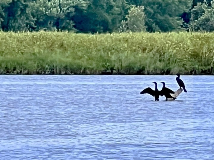
Paige’s Slew is in a wide spot in the valley where the Apple River dumps into the St. Croix from the Wisconsin side creating a delta with channels and back channels, ever changing, with disappearing and reappearing sand bars and islands. This part of the river is under the authority of the National Park Service and is part of the St. Croix wild and scenic river system. This is the scenic part with building restrictions and viewshed easements from the river. It is much wilder in appearance than when I first came here as Suzi’s fiancé 60 years ago next summer. Sixty years ago there were no bald eagles along the flyway. Today there are, including a couple of nearby nests. While we saw them, I didn’t get good pics with my iPhone.
Brian took Suzi, Liam, and me in Nancy’s (Suzi’s sister) pontoon boat through some of the back channels down to look at the High Bridge, which I have always loved.
Here is a photo gallery from our day on the river.